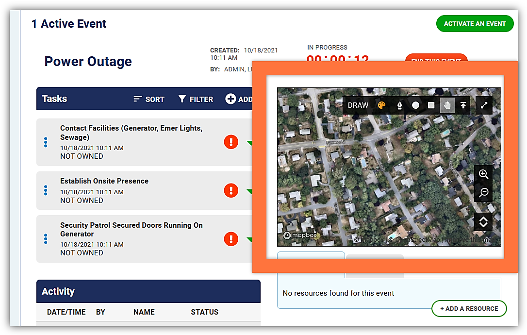
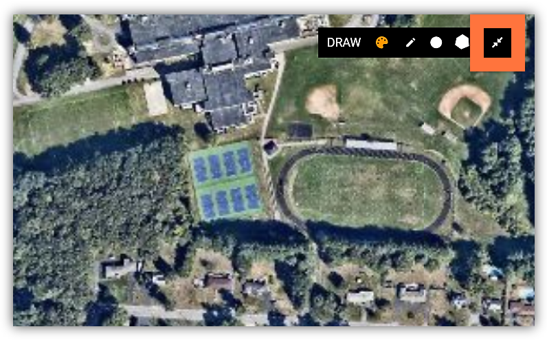
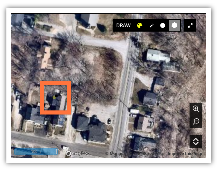
Rave Collaborate includes an interactive map as part of each active event. The map displays in the upper right-hand corner the active event screen.
 |
You can zoom the Rave Collaboratemap in two ways.
The map has Zoom In and Zoom Out buttons on the right side of the screen.
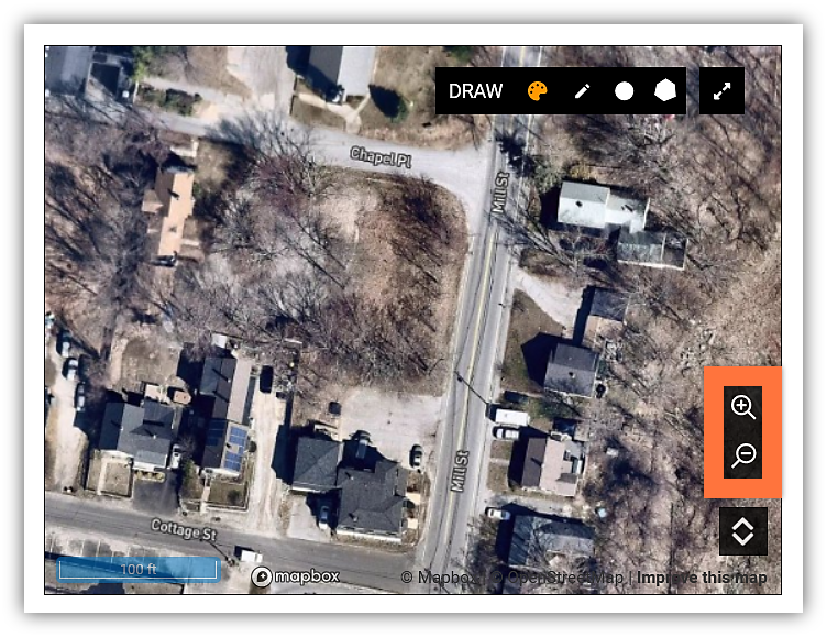 |
If your mouse has a scroll wheel, spinning the wheel will also zoom the map in or out.
Select the Expand button in the upper right-hand corner to spread the map over your entire screen.
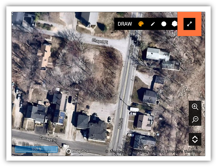 |
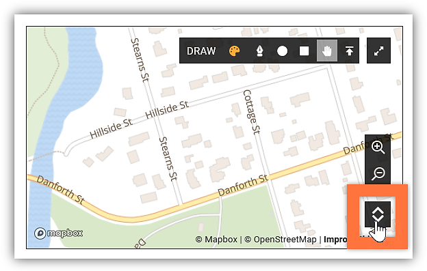
While in full screen mode, select the Minimize button in the same menu location to return to the smaller map size.
 |
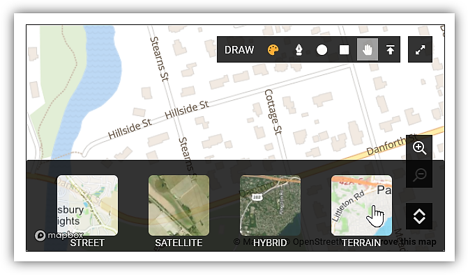
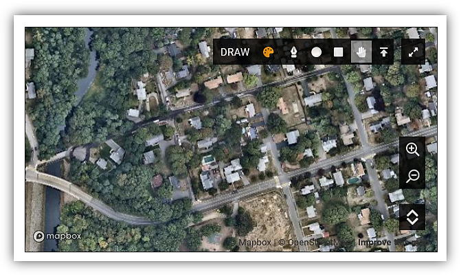
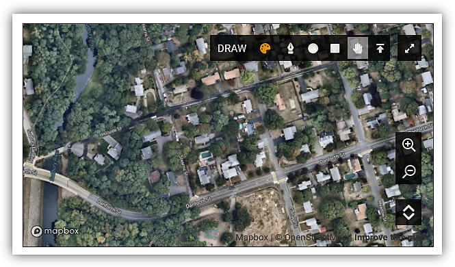
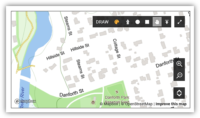
TheRave Collaborate map offers several different layer views. You can choose from Street, Satellite, Hybrid, and Terrain.
To change the map view:
-
Select the Layer button in the lower right corner of the map.
-
Select the layer you want to see on the map.
Street View
 |
Satellite View
 |
Hybrid View
 |
Terrain View
 |
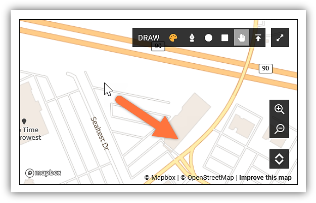
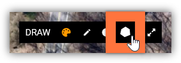
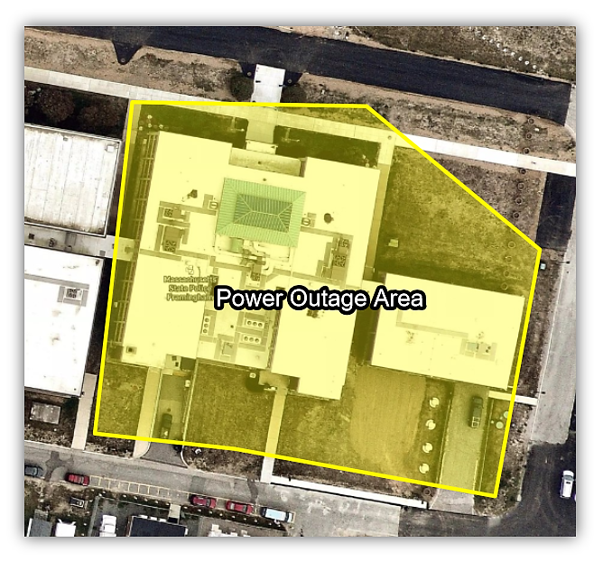
To add a polygon to the map:
-
Select the Polygon tool on the map options.
-
Move your cursor to where you would like one edge of your polygon to be. When the draw tools are active, the cursor displays the draw tool icon telling you where your click will impact the map.
-
Click to set down the first point in your polygon’s outline.
-
Move your mouse to where you’d like more points in your polygon’s outline.

-
Click each time you want to set down another point. Rave Collaborate expands the polygon to fill in the area between your existing points, giving you a preview of your shape.
-
Double-click to finalize the polygon in your desired shape.
Polygons contain transparent overlays of the color you chose, so they can highlight areas of the map while keeping them readable.
 |